Designing Cooler, Friendlier Streets with Microclimate Insight

Today we dive into microclimate modeling for walkable, heat‑resilient streetscapes, translating physics into friendly design moves that keep feet moving and hearts comfortable. You’ll see how shade, airflow, materials, and water interact at human scale, and how simulations guide smarter choices. Expect practical steps, vivid stories, and research-backed tactics you can apply from concept sketches to construction and operations.

Understanding Urban Heat Drivers at Eye Level

Heat on the sidewalk is driven less by air temperature and more by mean radiant temperature shaped by sun paths, facade reflectivity, paving emissivity, and the way buildings guide wind. Microclimate modeling reveals hotspots hidden at pedestrian height, explains why some corners scorch while others breeze, and helps align materials, planting, and form so every block invites walking even during punishing afternoons.

Radiation Balance on the Sidewalk

Standing at noon beside a glassy storefront, your skin feels the sum of direct sun, sky vault, and reflections bouncing off facades and pavement. Modeling the short‑ and long‑wave balance, then adding shade, can lop dozens of watts per square meter from exposure.

Street Canyons and Wind Paths

In narrow corridors, air stagnates and warms, while corner accelerations can either relieve or punish depending on orientation. CFD or reduced-order models map recirculation zones, suggest porosity for screens, and show how a single setback or arcade unlocks comfortable, continuous walking.

High-Resolution Geometry and Materials

High-fidelity street sections require footprints, heights, roof forms, facade types, and tree canopies with crown diameters and leaf area index. Material libraries should log aging effects, because a bright pavement today may darken with dust and wear, reshaping radiant loads.

Weather, Climate Futures, and Heatwaves

Use representative typical meteorological year files for everyday comfort targeting, then stress-test with heatwave sequences and climate projections. Bias-correct local stations when nearby water or hills skew readings, and simulate different times-of-day so morning commutes and late errands both feel noticeably safer.

Rapid Screening for Early Concepts

Early stages benefit from solar access maps, MRT estimates, and airflow proxies that highlight patterns rather than exact numbers. Comparing a trellis, vine screens, or a double row of trees in hours—not weeks—keeps momentum while avoiding dead ends that later prove thermally hostile.

CFD and Detailed Microphysics When It Matters

When setbacks, balconies, transit shelters, and vegetation interact, Reynolds-averaged CFD or LES provides detail on gusts, recirculation, and comfort exceedances. Calibrate roughness and canopy drag, then iterate geometries so improved shade never creates hidden downdrafts or recirculation pockets at stroller height.

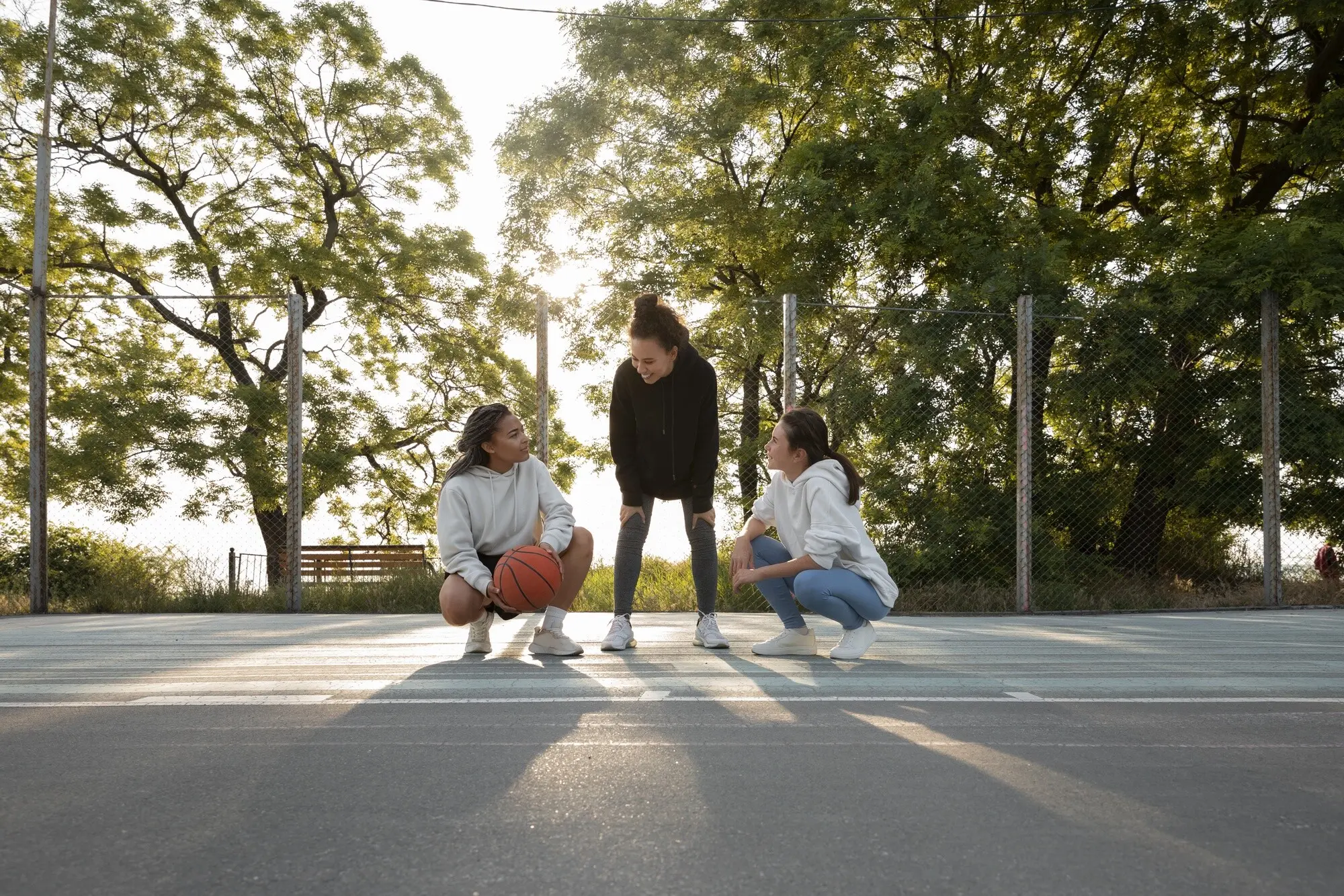
Tree Canopy and Engineered Shade That Age Well

Mature canopy is unbeatable, yet takes years. Mix fast-growing pioneers with long-lived natives, protect soil volumes, and specify structural soils where utilities crowd roots. Supplement with canopies, arcades, and retractable awnings so shade arrives this summer, then deepens gracefully as trunks and crowns expand.

Cool, Permeable, and Low-Glare Surfaces

High-albedo pavements reduce surface temperatures but can spike radiant loads; choose textures, aggregates, and pigments that scatter rather than mirror. Permeables cool through evaporation and reduce runoff, yet need sweeping and vacuuming schedules. Model aging, puddling, and glare before committing across entire corridors.

Blue-Green Tactics and Smart Water Use

Water features invite rest and lower peaks, but supply and maintenance matter. Mist nozzles demand filtration; rills need safe edges; smart controls should target extreme hours. Bioswales and curb extensions add cooling soil and shade while doubling as stormwater infrastructure with habitat benefits.

Measuring Comfort, Health, and Equity Outcomes

Comfort is personal and contextual. Metrics like UTCI, PET, and SET* translate physics into felt experience, yet thresholds should reflect children, elders, outdoor workers, and transit riders. Map benefits and burdens, align investments with need, and design routes that keep errands plausible on the hottest days.

From Results to Action: Validation, Communication, and Policy

Insight matters only when it changes streets. Validate models against measurements, publish uncertainty ranges, and frame benefits as avoided heat-stress minutes. Share layered maps with stories from bus stops and school gates, then codify results into design guides, pilot segments, and monitoring that keeps learning alive.